Security assessments
Structured reviews of infrastructure, applications and cloud configuration, prioritised by business impact rather than scanner noise.

Cybersecurity · Pentesting · Geointelligence
We defend systems, test resilience, and turn spatial data into decisions.
Principles
An EU-based team, zero retention by default, and open source at the core.
Data and engagements stay under EU law.
Client data is deleted at close-out; exceptions are agreed in writing.
Open standards and tooling, so nothing is a black box. GitHub
01 — Cybersecurity
Independent reviews for teams that need to know where they stand, and a practical path to closing the gaps.
Structured reviews of infrastructure, applications and cloud configuration, prioritised by business impact rather than scanner noise.
Practical remediation and design guidance for identity, network segmentation, logging and secrets management.
Detection design, alert triage and incident playbooks, so the signal arrives before the damage does.
02 — Pentesting
Simulated attacks against your live systems, so you learn what an adversary would find before they do.
Testing only with written authorisation, inside agreed boundaries, under confidentiality.
We agree targets, boundaries, timing and escalation paths in writing before a single packet moves.
Mapping exposed assets, identities and trust paths to identify the scenarios most likely to succeed.
Manual testing with guardrails, proving impact without disrupting production or exceeding scope.
Clear findings, reproducible evidence and prioritised fixes, with both technical detail and an executive summary.
We confirm the fixes hold and provide a close-out record for auditors, customers and internal teams.
03 — Geointelligence
We turn scattered location data into answers you can stand behind.
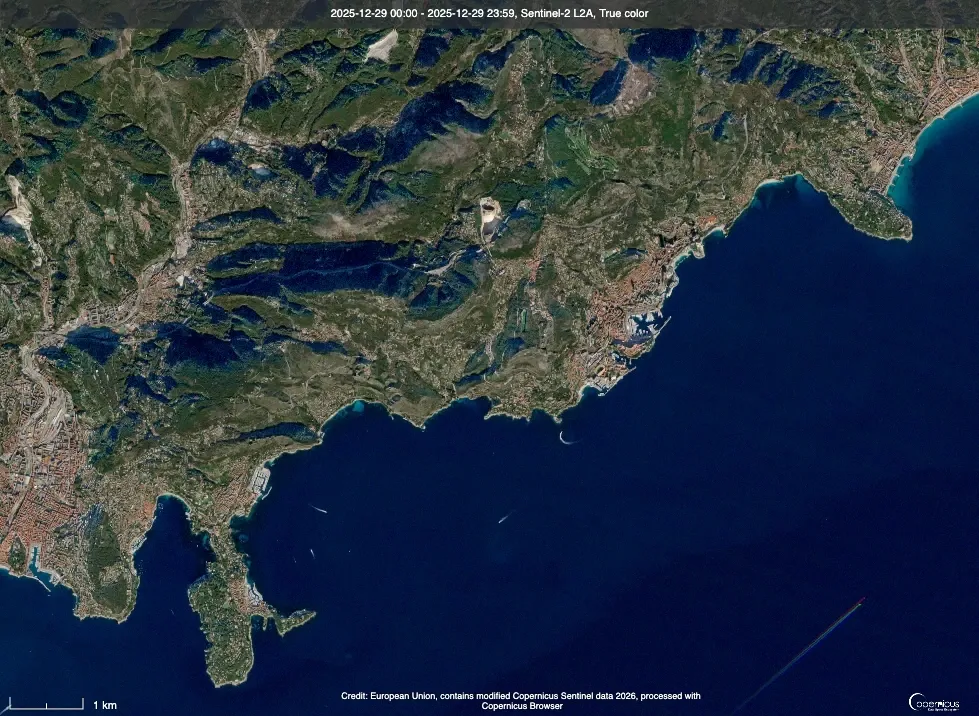
Layered analysis, suitability modelling and cartography that make complex terrain legible.
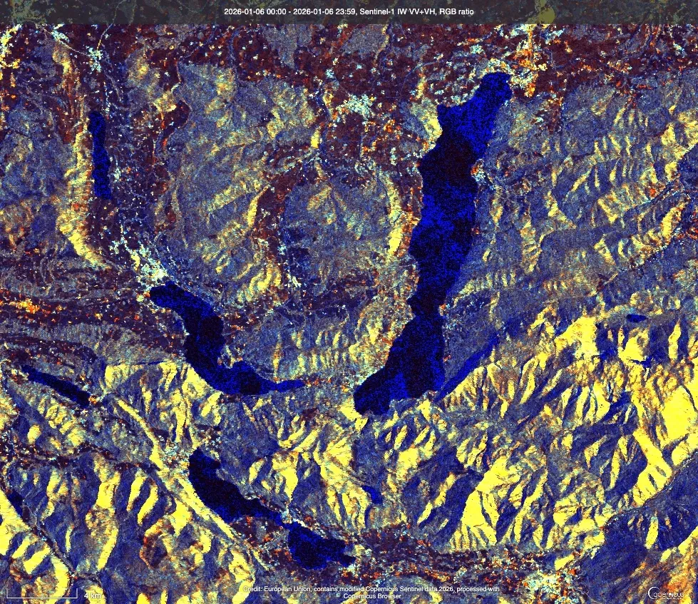
Optical and radar imagery processing for change detection, monitoring and site assessment.
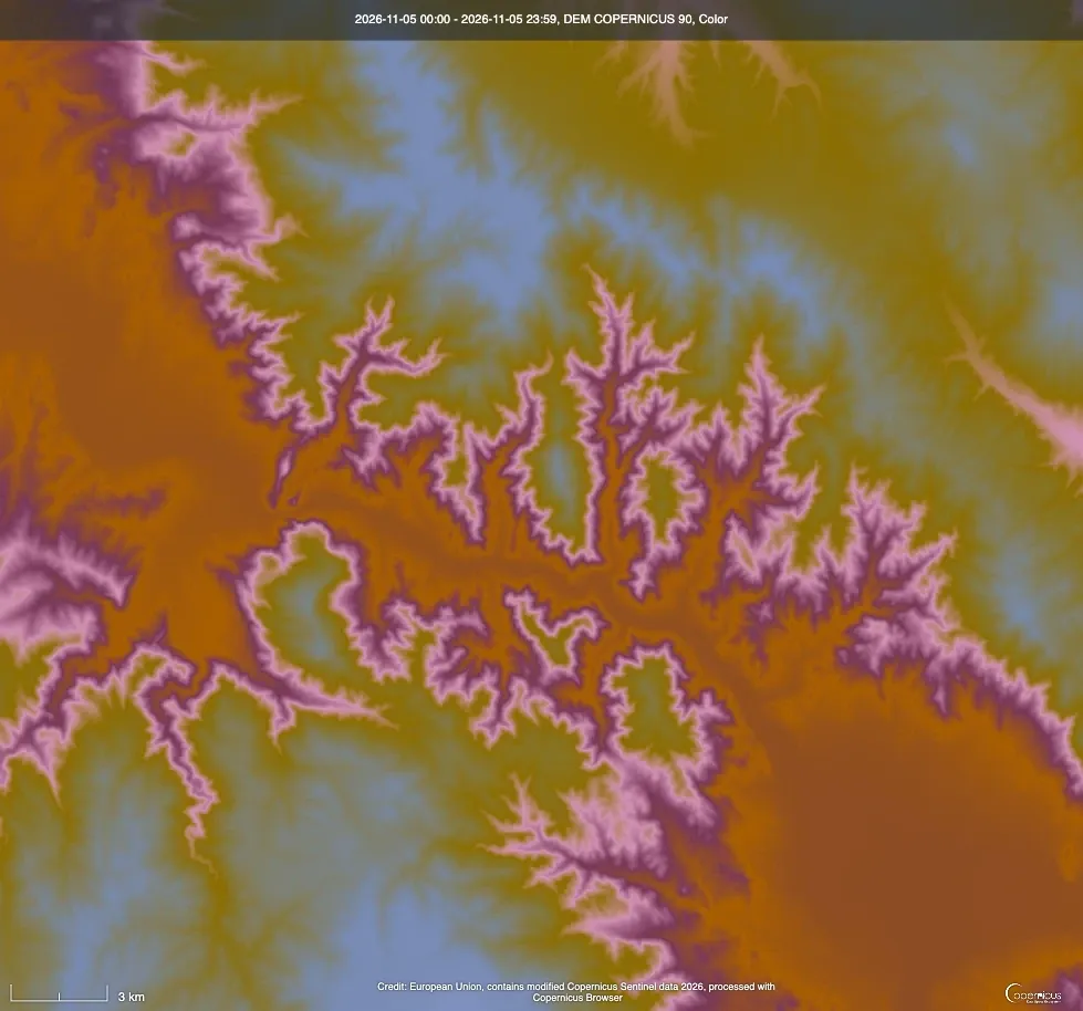
Reproducible ingestion, validation and delivery of geospatial data across your stack.
04 — Contact
Share the system, the question or the dataset you're working with. We'll respond with a clear next step — not a sales sequence.
Start a conversation
Bartuga Labs s.r.o.Příčná 1892/4, Nové Město110 00 Praha 1Czech RepublicOpen in OpenStreetMapCompany ID (IČO): 30194822